The Rise of Electric Golf Carts in Eco-Friendly Tourism
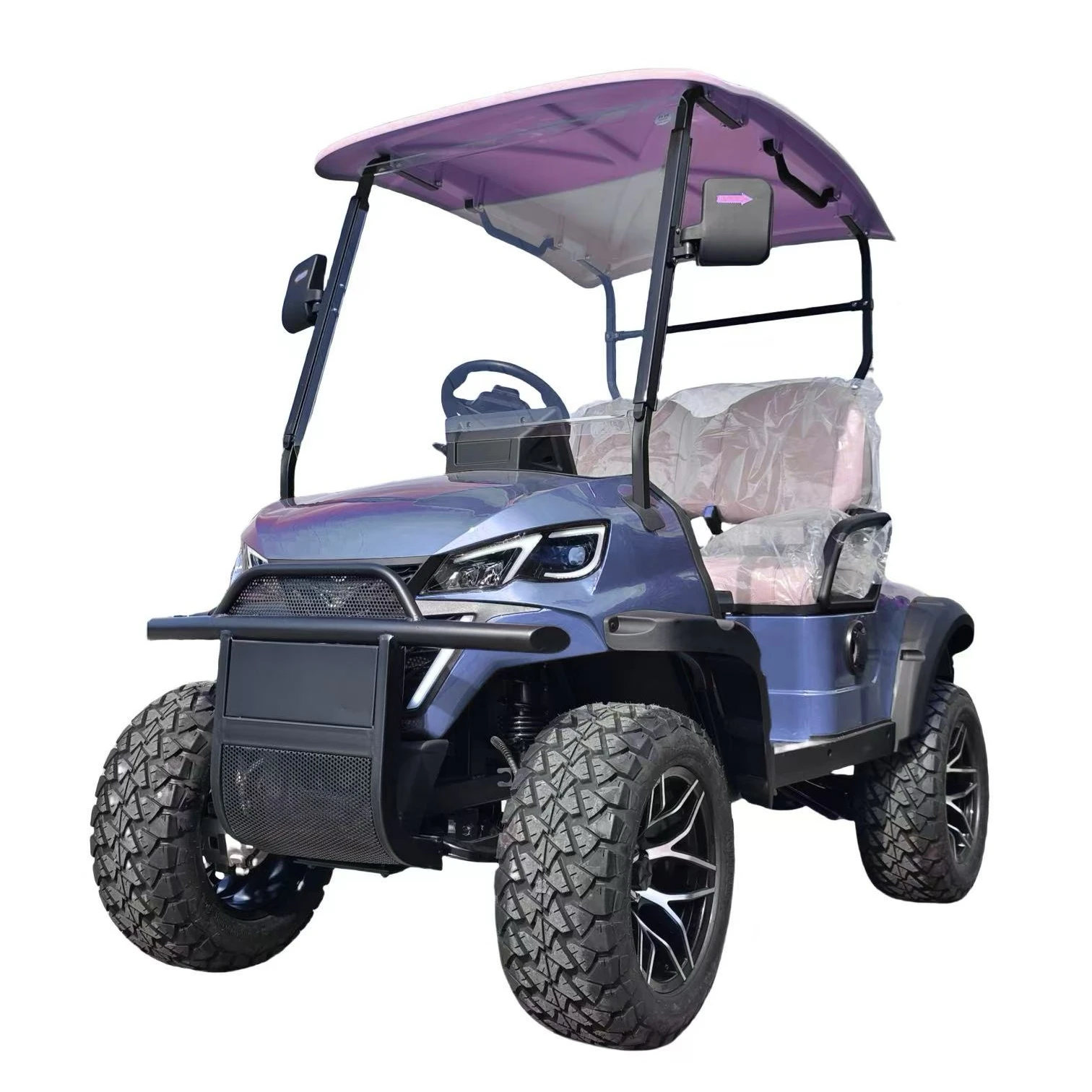
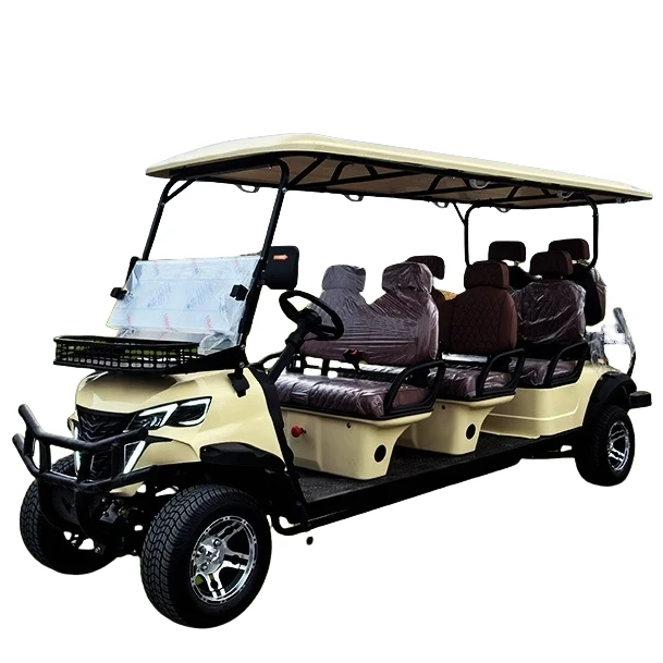
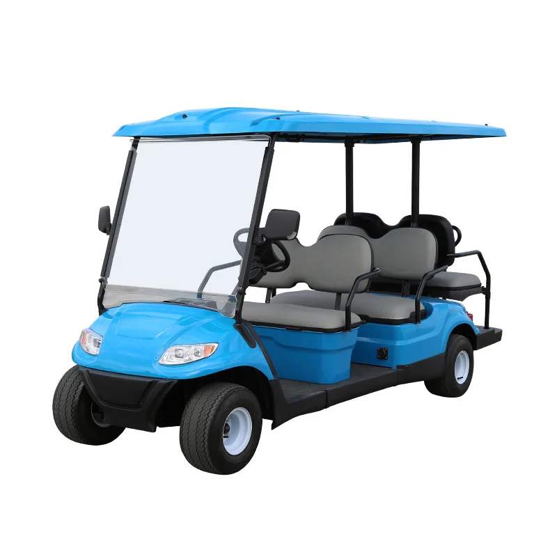
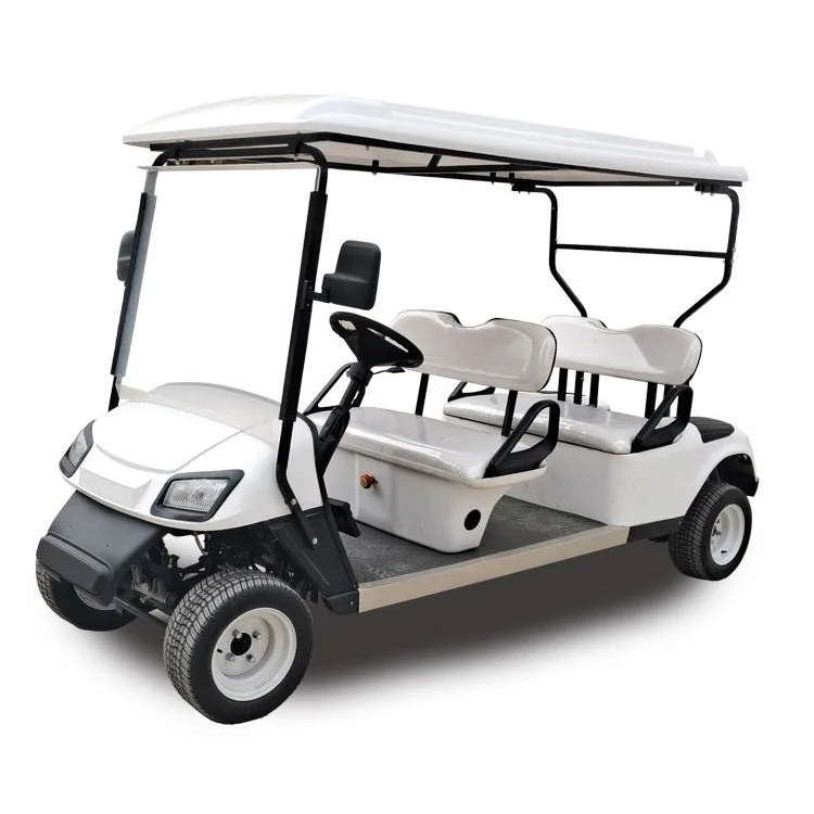
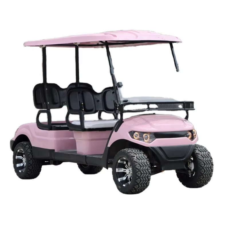
Electric golf carts have greatly increased in popularity in recent years, particularly among eco-friendly tourist hot spots. As public interest in eco-tourism increases, so too does the adoption of sustainable practices by both businesses and travele...
View More